General Map
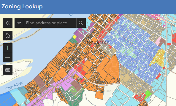
Layers: Addresses, Road Centerlines, Parcels, Zoning, HWU, Flood Map - 2013, Voting Precincts , Structures & Contours , Fire Service Boundaries , Henderson City Limits , Corydon City Limits ,Robards City Limits , Henderson Co. Boundary
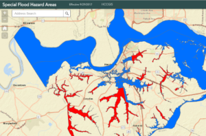
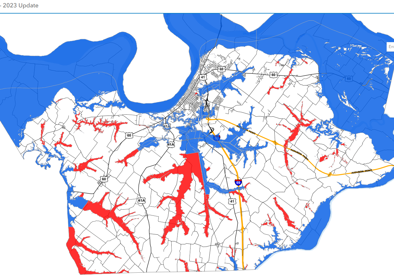
Special Flood Hazard Areas - 2017
Use this map to quickly find out if your property is in a Special Flood Hazard Area (floodplain). The SFHAs shown are effective as of September 29, 2017.